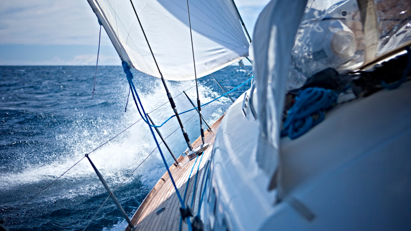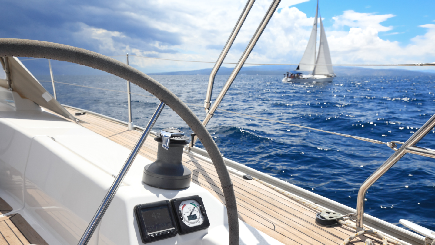

The nations bordering the Mediterranean Sea are an astonishing assortment of diverse terrains and weather patterns. The range of atmospheric forces and temperatures, combined with the existence of mountains, play a role in generating winds that blow in various orientations, manifest during specific seasons, and potentially impact your sailing experience.
No matter if you are a novice or a seasoned seafarer, it is beneficial to be familiar with these breezes and comprehend their mechanics, to enjoy a delightful and enjoyable sailing vacation.
Let us embark on a journey to discover the primary gusts that sweep across the Mediterranean Sea and learn how we can prevent difficult circumstances and make the most of our time on the water!
.

The Meltemi is the northerly dry wind that prevails in the Aegean Sea from May to September and reaches its peak from mid-July to mid-August. It is created by combining a high system over the Balkans that meets a low system from Asia Minor; typically, it lasts for half a week, calms down for the remainder of the week, and starts again the next one. Sometimes, however, it goes on for months.
What is unique about it, is that it is enhanced by the topography of the Aegean, where there are dry mountain islands that heat up to the sun faster than the surrounding sea. This interaction of land and water creates differences in atmospheric pressure, which is equalized by the wind.
Moreover, as the mountains in the islands are relatively high, they block the flow of the current, forcing it to increase its speed to overcome them around their edges or, if the Meltemi is a powerful one, over their tops. Therefore, the higher the island is, the more frequent and severe the gusts are, especially on the leeward side of the islands and around their edges, where it also changes direction.
As the intensity of the Meltemi is related to differences in temperature, we experience its highest strength during the hottest hours of the day. This also means that typically, it has not reached its full force in the early morning hours (till 9 a.m.) and that it calms down after sunset and through the night.
Skipper Dimitri is an experienced skipper and expert in the Aegean Sea and the Cyclades Islands. You can read his useful guide on our blog, including his best advice on safe sailing with this wind!
The Mistral is a cold, gusty wind that blows from France and reaches the Mediterranean Sea from the northwest. It's primarily thanks to this wind that Provence and Côte d'Azur experience many days of sun during the year, but it's also due to its presence that the territory is hit by sudden storms and drops in temperatures.
Despite France being the main home of the Mistral, it quickly reaches Corsica and Sardinia. It occurs when an area of high-pressure forms in the Bay of Biscay in western France and an area of low-pressure forms around the Gulf of Genoa: When they meet over France, it creates a powerful current of air that sweeps across the landscape, blowing full-force into the Gulf of Lion off the Côte d'Azur.
From a sailing perspective, the Mistral can be considered an enemy of beginner sailors but an ally for experienced ones. The wind gusts in the summer can refresh a hot day and create a fun sailing experience, but can be hazardous at the same time: choppy sea and 4 to 7 meters waves as a consequence of the gusts can transform a pleasant sailing day into an unpleasant experience for many people.
Finally, you can find the Mistral wind also in Croatia. In this case, we are referring to a local wind that forms when sea temperatures meet the land ones. It is not as sudden and disruptive as the Meltemi you can encounter in Greece, which offers plenty of time to find a good shelter.

The Sirocco is a hot and humid wind that originates over the deserts of northern Africa and blows towards the southern Mediterranean Sea, reaching Italy, Spain, Portugal, the Canary Islands, Croatia, and Greece.
The dry wind from the desert collects moisture as it blows on the Med and increases humidity and temperature: The consequences usually are wet weather in southern Italy, big storms all over the sea, and fog. Sometimes the rains mix up with the desert sand and create the so-called "blood rain" (very unpleasant when it rains on your car...).
For sailors, Sirocco can be challenging as it carries along very harsh conditions of humidity, low visibility due to sand and dust, and high temperatures. There are many precautions one can take while sailing, from adjusting the course according to weather conditions, to wearing protective clothing.
Luckily, the Sirocco (like most winds) can be predicted several days in advance, by paying attention to the clouds, the rains, and the drops of pressure. This helps to plan routes accordingly! However, the gradual offset of the Sirocco gives room to enjoy a bit of adrenaline while sailing and easily find a safe refuge.
.
Last but not least, the Bora, a katabatic wind that prevails on the Croatian coasts. Katabatic means that it is a falling wind, which forms when a large amount of cold air accumulates on mountain peaks and is pushed down to the coast by gravity. By the time it reaches the coast, the air picks up very high speed, and once it combines with the sea's warmer temperatures, humidity, and lighter air, it generates strong gusts of wind.
The mighty strength of the Bora can reach a hurricane speed (300 km/h) during winter, with spring also being a period of strong intensity. July and August are generally safe months for sailing, but the Bora, as unpredictable as it is, can hit any time; in summer, though, gusts are weaker and last for a maximum of 3 to 4 days.
If you are sailing around the Croatian islands, it is safer to anchor in the southern or western sides, as the opposite can be quite challenging. Make sure you plan your anchorages, having a backup in case the first option is already filled up with boats.
.

Our regular email newsletters include information about our boats, holiday ideas, destination insights and cultural briefings. You can unsubscribe at any time and we'll treat your data with respect, never passing on your details to third parties. Find full details of our data management in our Privacy policy page
By signing up, I agree to Sailogy's T&C's and Privacy policy

Looking for inspiration for your next sailing holiday? Packed with insights on trending sailing destinations plus stories from expert sailors and first-timers, our brand new digital magazine - Magister Navis - will guide your way to your next sail.
View magazine